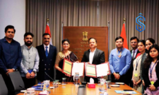

New Delhi: The Department of Land Resources (DoLR), Ministry of Rural Development, organised the National Symposium on NAKSHA Land Survey and LandStack in New Delhi, bringing together senior officials and experts to discuss India’s future roadmap for modern land mapping and geospatial reforms.
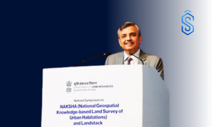
In his inaugural address, Manoj Joshi, Secretary, Department of Land Resources, emphasised the urgent need to replace traditional tape-based measurements and hand-drawn sketches with digital latitude-longitude systems and GIS-linked registration frameworks.
According to him, modern land mapping through initiatives like the NAKSHA Land Survey is vital for economic stability, strengthening property markets, and enhancing transparency in property records.
Also Read: Pune to Become Hub for Defence Land Systems Innovation Under Indian Army-MCCIA MoU
Government Showcases Technology Advances Under NAKSHA Land Survey
Providing a technical update, Joint Secretary LR, Kunal Satyarthi, said that the government is increasingly adopting modern aerial imaging technologies.
He noted that the Continuously Operating Reference System (CORS) now enables surveyors to map nearly 200 properties per day, compared to earlier manual methods that required an entire day to map a single parcel.
Satyarthi highlighted that a large-scale pilot is underway across 157 cities to introduce a unified “Urban Property Card,” offering a single verified record that integrates registration deeds, municipal tax information, and legacy land documents.
Also Read: Maratha Military Landscapes of India Added to UNESCO World Heritage List
He added that advanced tools such as LiDAR and oblique cameras are being deployed across 20–30 states to survey complex terrains and rapidly urbanising areas.
Call to Accelerate NAKSHA Land Survey Implementation
Concluding the symposium, Shyam Kumar, Director LR, called for faster execution of the NAKSHA Land Survey programme, development of advanced GIS-based software, and creation of a nationwide digital land data ecosystem to enhance ease of living and ease of doing business.